

// 3D tour of Ecuador
[ Project map ]
?
Controls
- W A S D · ← ↑ → ↓
- Move forward, back and turn
- Drag
- Rotate and tilt the camera
- Right-click + drag
- Pan the map
- Wheel · + −
- Zoom in and out
- Q · E
- Tilt
- Esc
- Close details or leave the plane
- Touch
- Joystick to move, one finger to rotate, pinch to zoom
Provinces: geoBoundaries OpenFreeMap · © OpenMapTiles · © OpenStreetMap contributors
Loading map…
Project map
Your browser cannot show the 3D map (it needs WebGL 2). Here are the same projects with their area.
You have reduced motion turned on, so we show the list instead of the 3D tour.
Locations are approximate.
Quito Pichincha
-
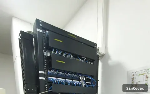 2022 Multi-Branch Banking Core La Carolina (financial district) · approximate location Network infrastructure · Structured cabling · Video surveillance
-
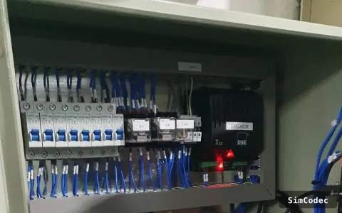 2024 Smart Water for a Residential Complex Conocoto (Los Chillos valley) · approximate location Process automation · Monitoring
-
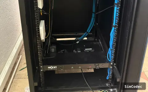 2025 Connected School Campus Kennedy (north) · approximate location Network infrastructure · Structured cabling · Monitoring
-
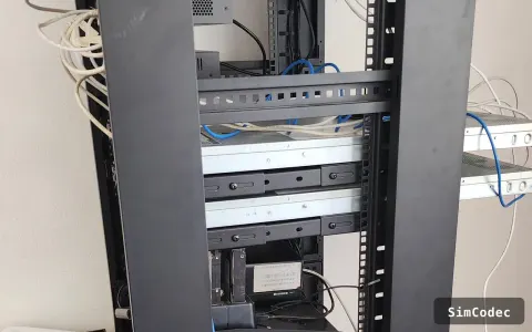 2025 Regional Edge Node Carcelén (north) · approximate location Network infrastructure · Structured cabling · Monitoring · Cloud & hosting
-
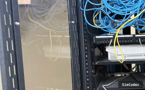 2025 Zero-Downtime Infrastructure Move University area (north-central) · approximate location Network infrastructure · Structured cabling · Cloud & hosting · Software development
-
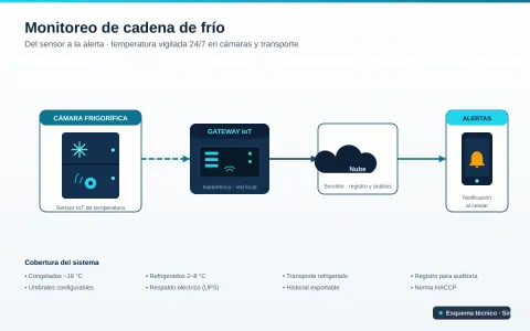 2026 Cold chain monitoring Tumbaco (eastern valley) · approximate location Network infrastructure · Structured cabling
-
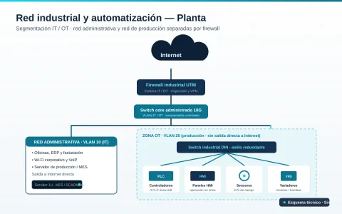 2026 Industrial network and automation for a plant Turubamba (southern industrial zone) · approximate location Network infrastructure · Structured cabling
-
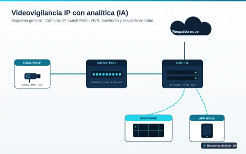 2026 IP video surveillance with AI analytics Calderón (northeast) · approximate location Video surveillance · Network infrastructure · Structured cabling
-
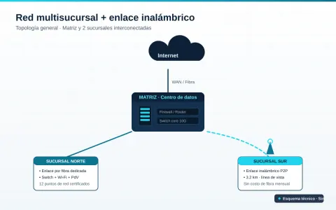 2026 Multi-branch network with wireless link El Recreo (south) · approximate location Network infrastructure · Structured cabling · Video surveillance